Alex 👾 does 🏗️ Data 🎛️

- Data Viz 13
- Tableau 8
- ETL 4
- Python 4
- Illustrator 3
- GIS 2
- Graphic Design 2
- Mapping 2
- SQL 2
- D3.js 1
- Machine Learning 1
- NLP 1
- Power BI 1
©2025 Alexander Reese
Enhancing Topographical Maps
Custom GIS-based mapping with topographic, urban, and vegetative layers for a campus planning project.
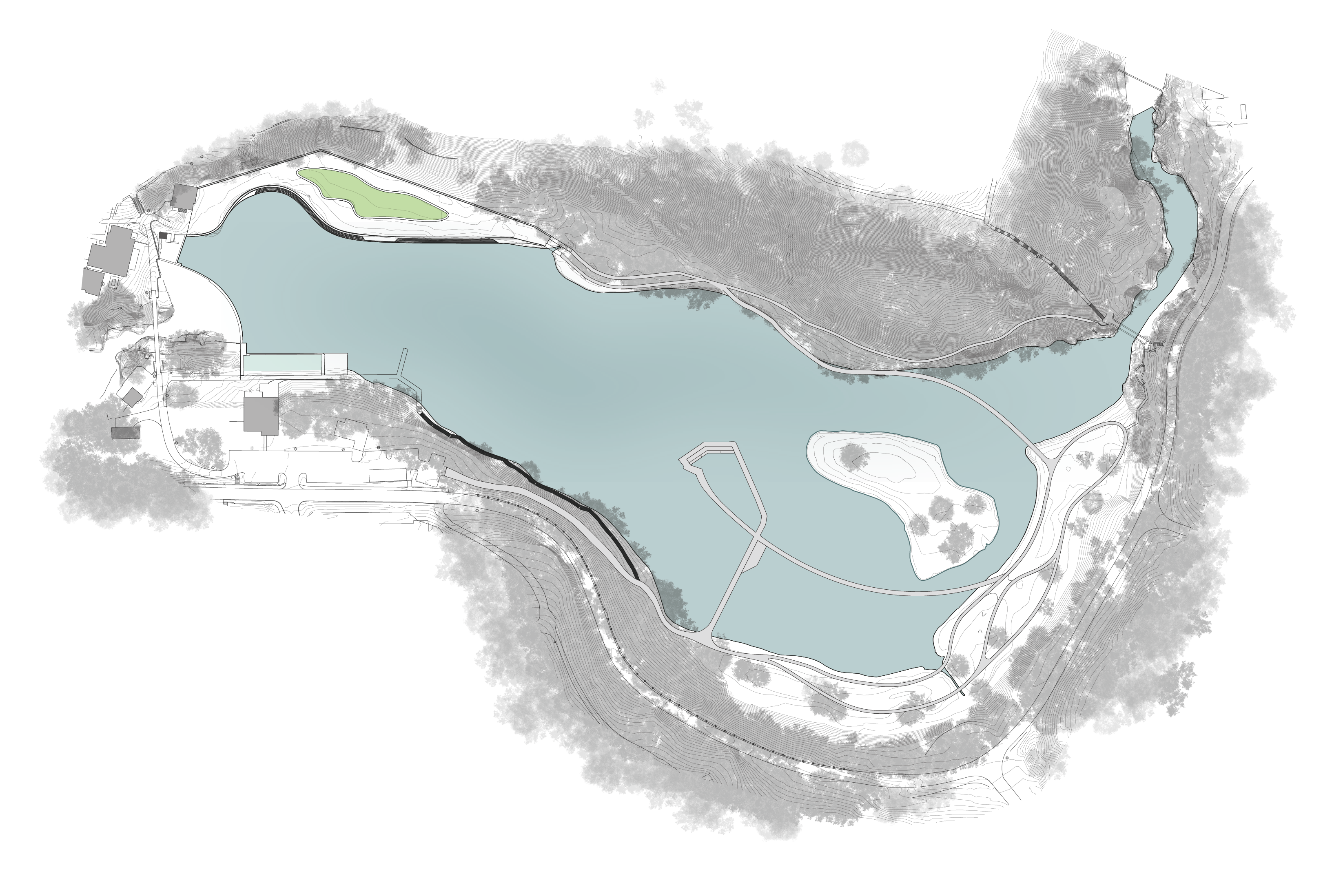
This map layers elevation contours, circulation networks, and building footprints derived from GIS data with a custom tree canopy overlay created in Illustrator, uniting environmental data and visual composition within a single landscape planning study at Cornell University.